Professional Drone Services Across the UK
From aerial photography and inspections to cleaning and specialised surveys, we deliver comprehensive drone solutions for construction, agriculture, property, and commercial sectors.
CAA-approved professional drone pilots
High-precision data collection & analysis
Full UK coverage with rapid deployment
Expert technical support & consultation
Specialist Drone Services for Modern Businesses
We specialise in three core areas: professional drone cleaning, comprehensive aerial surveys, and stunning media content creation. Expert solutions delivered across the UK.
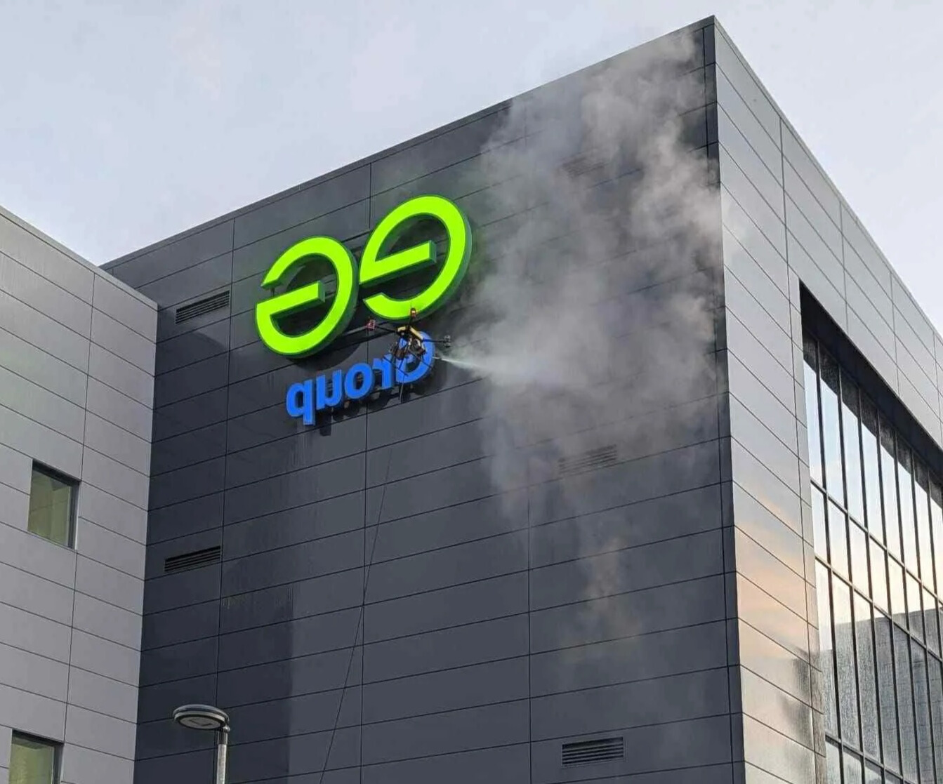
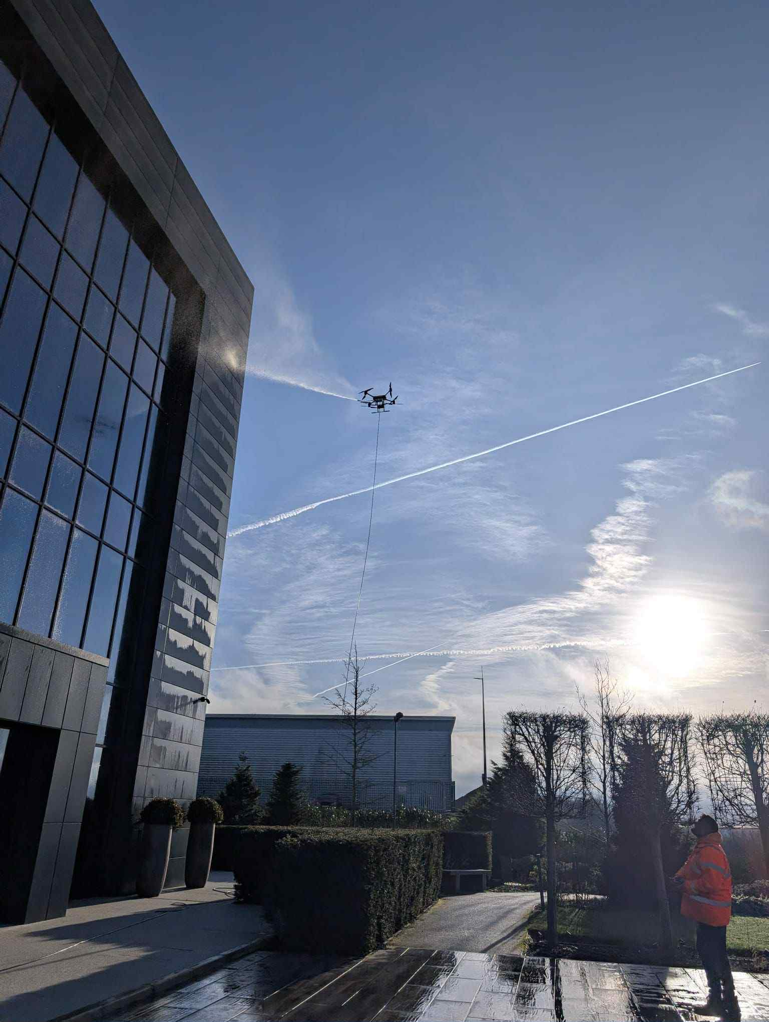
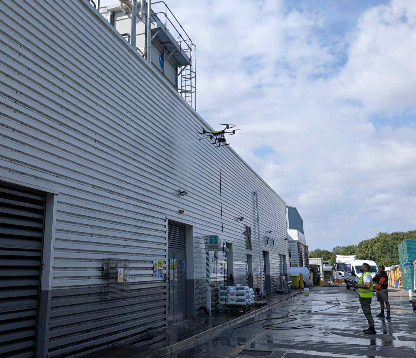
Drone Cleaning
Safe, efficient cleaning from the sky
- Solar panel cleaning
- Building facade maintenance
- Window cleaning services
- Gutter and roof cleaning
- Industrial site cleaning
.jpg)
CAA
Approved
UK's Leading Drone Service Provider
With over a decade of experience, our team of CAA-approved drone pilots delivers comprehensive aerial services across the UK. From precision surveys and inspections to photography and cleaning, we combine cutting-edge drone technology with industry expertise to deliver exceptional results for every project.
What Our Clients Say
We pride ourselves on delivering exceptional drone survey services that exceed our clients' expectations.
"The aerial surveys provided by Aerolytics have been invaluable for our construction projects. The level of detail and accuracy in their mapping has helped us improve planning and reduce costs significantly."

James Wilson
Project Manager, Highland Construction
"We've worked with Aerolytics for our estate management needs for over three years. Their agricultural surveys have provided crucial data for our land management decisions and the team is always professional and reliable."

Sarah MacLeod
Estate Manager, Perthshire Estates
"The 3D models created from Aerolytics's drone surveys have transformed how we approach new architectural projects. The level of detail allows us to make informed decisions early in the design process."

Robert Campbell
Director, London Architecture
"The aerial photography we received from Aerolytics has elevated our marketing materials to a new level. Their stunning footage of our properties has significantly increased engagement with potential visitors."

Emma Fraser
Marketing Manager, UK Tourism
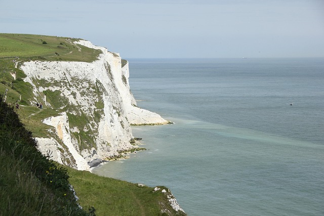
Our Coverage Across the UK
We provide specialist drone services throughout the United Kingdom, from the Scottish Highlands to the South Coast of England. Select a region to see our coverage areas.
South England
From London to the South Coast, our South England coverage provides responsive and high-quality drone services including cleaning, surveys, and media production.
Cities & Towns We Cover in South England:
Did you know?
We also cover all surrounding areas and can travel to any location in the UK for your drone cleaning, survey, and media needs. Contact us for a custom quote for your area.
UK-Wide Services
No matter where in the United Kingdom your project is located, our mobile team of CAA-certified drone pilots can be deployed quickly to your site. We pride ourselves on providing consistent, high-quality drone cleaning, surveys, and media services to every corner of the UK.
Ready to Get Started?
Contact us today to discuss your drone service needs. Our team of experts is ready to deliver high-quality solutions tailored to your project requirements.